A Timely Breakthrough
UC Berkeley Law center helps launch satellite idea to track methane emissions

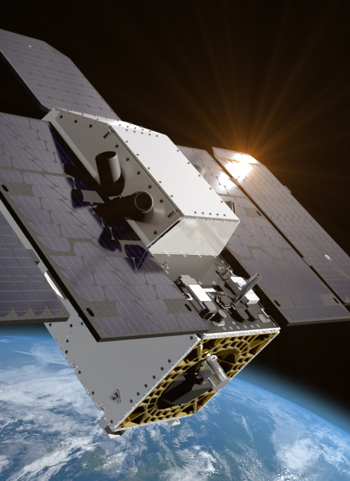
In August 2024, NASA partner Carbon Mapper launched the satellite Tanager-1 to detect and quantify methane emissions with unprecedented accuracy. In tandem with MethaneSAT, launched by the Environmental Defense Fund, the satellites will provide real-time data on moderate to large emission leaks, addressing a major gap in methane monitoring and reporting.
CLEE Project Climate Director Ken Alex pitched the satellite idea when he was a senior policy adviser for then-California Gov. Jerry Brown, catalyzed collaboration between key stakeholders, and helped secure philanthropic funding to bring San Francisco-based satellite company Planet Labs on board.
The satellite and its teammates will make a major impact on the Subnational Methane Action Coalition, which CLEE founded, and has jurisdictions around the world to help accelerate action to reduce methane emissions.
“We will be integrating satellite data into that effort, which will help with methane inventories, leak detection, and measuring progress,” Alex says.
CLEE is also working with the UC Berkeley School of Engineering to better understand methane emissions from landfills and will incorporate satellite data in that effort.
While many methane sources such as landfills and oil extraction sites are well known, around 20% of emissions come from unidentified or underreported sources. These new satellites will help close that gap by providing precise, almost real-time data that can help target leaks and mitigate them.
Data gathered from Carbon Mapper will be used to shape California’s climate policies and support global efforts to combat methane emissions. Carbon Mapper and the Environmental Defense Fund will make the methane data publicly available, allowing state and local governments, nongovernmental organizations, and the general public to access the information — ideally enhancing accountability and encouraging action from companies and jurisdictions to reduce their emissions.
CLEE will play a major role in using the data, working with partners to verify the accuracy of satellite readings and match them with ground-level detection records in order to guide more effective methane mitigation strategies.
Alex notes that the project is just one of CLEE’s ongoing contributions to shaping climate policy by leveraging cutting-edge science to reduce one of the most potent greenhouse gasses driving global warming.
The center’s projects also aim to help expand the infrastructure for electric vehicles in underserved communities, improve community benefit agreements associated with green infrastructure projects, determine faster and cheaper options for transmission lines, and work with libraries to create place-based resources about climate change.
“The breadth of our work matches the challenges of climate change,” Alex says. “This satellite is a welcome addition to our toolbox.”